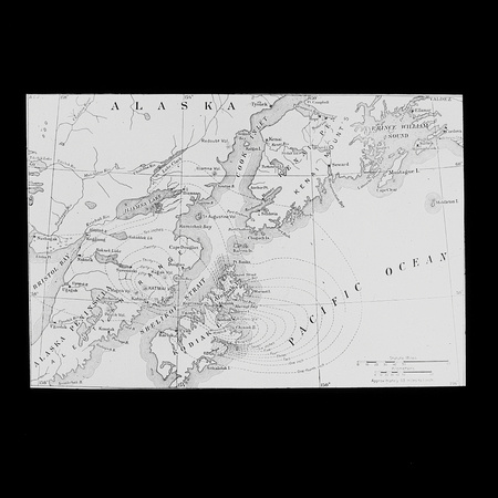
Map of Alaska
On June 6-9th, 1912, the most spectacular Alaskan eruption in recorded history and the largest volcanic eruption in the world of the twentieth century resulted in the formation of a large summit caldera at Katmai volcano. The eruption actually took place at a vent about 6 mi (10 km) to the west of Mount Katmai (at the Novarupta Volcano). During over 60 hours, the volcano erupted an estimated 28 km³ of ash flows and tephra representing 13 km³ of magma volume.